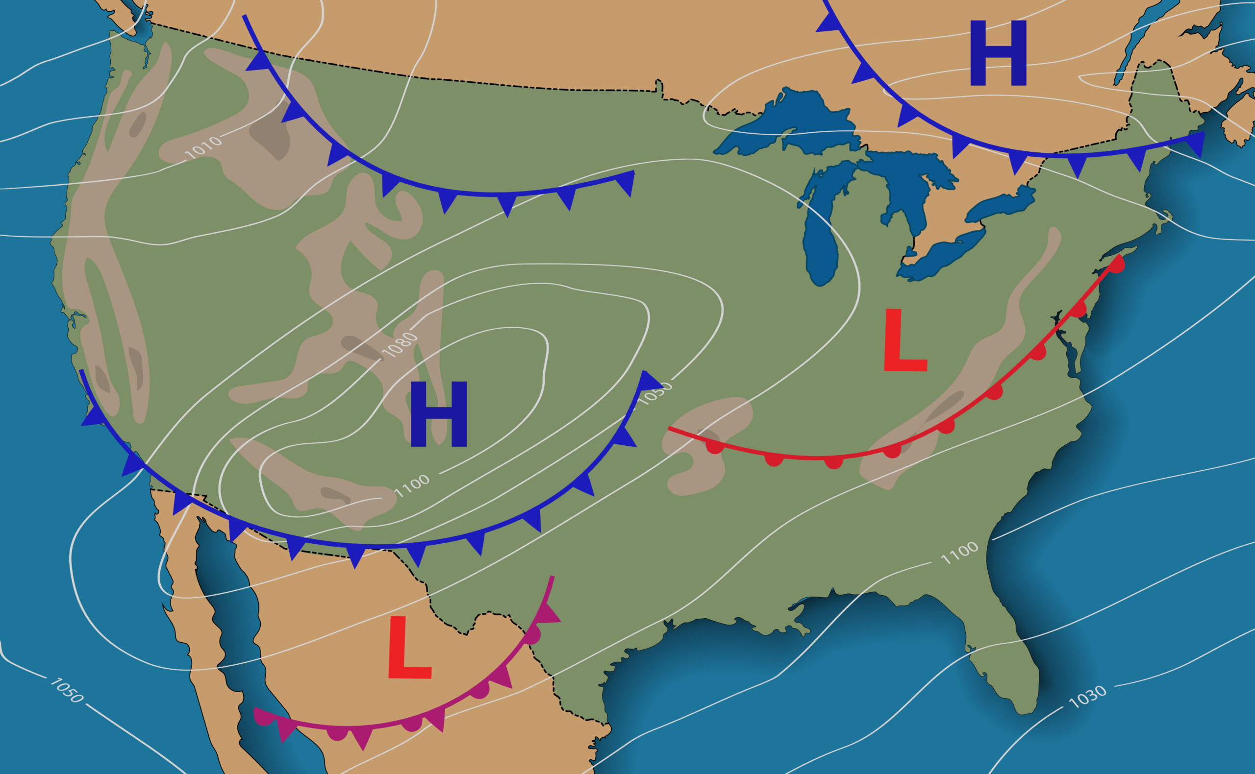
If you’re like most people, you probably check the weather forecast every day. You may even have a favorite weather app on your phone. But how do these forecasts get made? One way is by using weather stations and mesonets. These devices measure different aspects of the weather, such as temperature, wind speed, and humidity, to create a detailed picture of what’s happening outside. This information is then used to create the forecast. Let’s take a look at weather stations and mesonets, including their purpose and key functionalities. A Mesonet provides weather forecasters and interested parties with frequent and localized weather information. Better forecasts of excessive rainfall and real-time measurement of environmental and soil moisture conditions help improve the lead time on incidents and public safety announcements such as flood warnings issued by the National Weather Service.
What is a Mesonet?
A mesonet is a network of weather stations that are used to monitor the weather and forecast future conditions, which typically include dangerous weather. Mesonet sites are usually in remote areas where there are few weather stations. Some examples of mesonet weather observing include squalls, sea breezes and dry lines.
An automatic weather station is a weather monitoring device that collects meteorological data. Weather stations come in an array of different sizes and capabilities. Weather stations can have multiple sensors to measure different parameters. The data collected by a weather station is used to discover onsite conditions, create forecasts, and explore weather patterns in detail.
What States have a Mesonet?
The following states operate a state-wide weather network. There are currently 27 states with nearly 1700 mesonets.
What is a MET Weather Station?
MET stands for Meteorological Environmental Technology. It is specifically designed for monitoring ambient meteorological conditions. Some of the most common measurements of the MET weather station include:
- Wind direction/speed
- Ambient temperature
- Barometric pressure
- Relative Humidity
- Solar irradiance (GHI and POA)
- Rainfall
How is Weather Station Data Used?
The National Mesonet Program utilizes data from weather station networks established across the US to update organizations like NOAA and the National Weather Service with critical information required for improved weather prediction and warnings.
Weather stations in mesonets must provide accurate weather data for mesonets. Robust, professional-grade stations such as the ones made by Campbell Scientific, KestrelMet by Kestrel Instruments, Davis Instruments, Columbia Weather, and TACmet are some of the premier brands for industrial weather stations. Weather data colled by weather stations is used to create forecasts and provide information to aid in disaster preparedness and climatological research. The following are examples of how weather station data is used:
- Farmers use the data to determine when to plant crops, spray pesticides, and harvest their fields.
- Aviation forecasters use the data to create conditions for safe flying.
- Emergency management officials use the data to plan for hazardous weather and disasters.
- Scientific researchers use weather data to determine climate changes.
- Meteorologists use weather stations to help analyze weather patterns.
Weather reporting is used to collect data about the weather, climate, and other environmental factors. The data collected from these stations is used in a variety of ways including farming, aviation, and forecasting. While there are many ways that we track and record the weather, not all methods are created equal. By leveraging both weather stations data from mesonets, experts can predict the weather as closely as possible.

